

The club
About Golf du Comminges
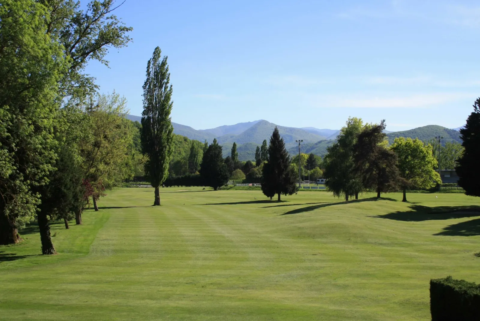
Montréjeau's municipal course, the Golf du Comminges, is a flat 2,709-metre par-35 nine-holer between the lake, the Garonne and the Neste, facing the Pic du Midi de Bigorre, close to exit 17 of the A64.
- When The course is open all year, with no closing day according to the French Golf Federation.
- Access The course is easy to reach from exit 17 of the A64 motorway, which links Toulouse and Tarbes.
- Who can play Open to visiting golfers.
The courses
The course
A gently contoured 9-holer with 18 tees, where water and out-of-bounds frame several holes.
Our tips
How to play Golf du Comminges
The course has 9 holes and 18 tees, for a par 35 of 2,709 metres. The ground is gently contoured, but the Garonne, the Neste and the lake make water and out-of-bounds the main dangers.
The 3rd is a good example: aim at the oaks to reach the dogleg right about 300 metres from the tee, with out-of-bounds on the right and the river on the left. From the yellow tees, the 4th asks you to carry a wide ditch. The 6th combines out-of-bounds on the left with water down the entire right side, and the 9th, a dogleg right to a raised green, also runs alongside water.
Elsewhere, the challenge is around the greens, often guarded by front bunkers, as on the 1st and 7th. The 8th, a short tree-lined dogleg left, is best played without aggression. A 5-hole compact course, a 12-bay range and a putting green complete the facilities.
Plan your trip
When to play
The course is open all year, with no closing day according to the French Golf Federation. At the foot of the Pyrenees, Montréjeau has cooler winters than Toulouse, but the flat ground remains playable most of the time. Spring, when the Pic du Midi de Bigorre is still snow-capped, and autumn are the finest seasons. In summer, make the most of long evenings by the lake.
Getting there
The course is easy to reach from exit 17 of the A64 motorway, which links Toulouse and Tarbes. From Tarbes allow about 57 km and three quarters of an hour; from Toulouse about 105 km and just over an hour and a quarter. The nearest airports are Tarbes-Lourdes-Pyrénées and Toulouse-Blagnac, the latter about 110 km away.
History
The story of Golf du Comminges
The Golf du Comminges grew out of an idea by René Ancelle. It was designed by Alain Tignol and Gilbert Michaud and built by Adrien Tignol, on land beside the Montréjeau lake, where the Neste flows into the Garonne. The club now honours its founders with a competition bearing their names.
It is a municipal course, managed and maintained by the town of Montréjeau, while the sports association runs club life: friendly competitions, the Occitan seniors' circuit and anniversary days. The French Golf Federation rates it three stars in the 9-hole category.
Coaching plays a big part. The club has relaunched its junior academy, with the first lesson free and the licence paid by the association for young members. Lessons are given by two state-qualified professionals, Bernard Monnereau and Camille Batut, who look after beginners and experienced golfers alike in a friendly atmosphere.
On site
Facilities
Stay nearby
Where to stay near Golf du Comminges
Hotels and rentals around the course, with live prices.
🏨 See all places to stay near the course ↗
Commercial link: we may earn a commission at no extra cost to you.
Nearby
Nearby golf courses
Questions
Good to know
How many holes does Golf du Comminges have?
9 holes (Comminges: 9 holes).
How far is Golf du Comminges from Tarbes?
About 57 km by road from central Tarbes.
Is the Golf du Comminges open to the public?
Yes, it is a municipal course managed and maintained by the town of Montréjeau, open to visiting golfers as well as members of the sports association.
How many holes does the course have?
A rated 9-hole course with 18 tees, a par 35 of 2,709 metres, plus a 5-hole compact course for beginners.
How do I get to the course?
Take exit 17 of the A64 between Toulouse and Tarbes; the course is on the Chemin de Capele beside the Montréjeau lake.
Sources: the club (verified listing), Best Golf Tips, © OpenStreetMap contributors (ODbL). Updated: 2026-11-16